Experts from the Food and Agriculture Organization of the United Nations (FAO) recently visited Turkmenistan to discuss the digitization of the State Land Cadastre. They held meetings with representatives of various ministries and departments, gave a lecture at the S.A.Niyazov Turkmen Agricultural University, and tested digital geodetic equipment in the Akhal province.
This visit is part of a two-year joint project between the Ministry of Agriculture of Turkmenistan and FAO called “Support in the creation of a digital land cadastre.” The visit was aimed to introduce digital technologies to land surveyors, cartographers, and specialists in state land accounting, and to test the latest geodetic equipment.
Turkmenistan is actively working to improve land management, geodesy, and cartography through digitalization. A key part of this effort is the creation of a digital land cadastre and a digital map of land plots. This requires the introduction of a national geodetic coordinate system.
Training for local specialists
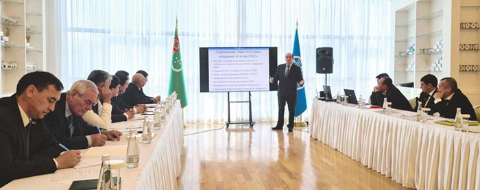
FAO experts provided a three-day consultative training on the use of digital geodetic equipment. Renat Zagretdinov, an FAO technical expert and associate professor at Kazan Federal University, led the training. He covered topics such as popular electronic applications for satellite geodesy, coordinate determination methods for agriculture, and the capabilities of worldwide networks.
The lecturer also touched upon the issues of processing, archiving and subsequent use of accumulated data, the functions of cartographic stations installed in neighboring countries with Turkmenistan, which take measurements daily for regional and global studies, as well as record geodynamic fluctuations, including earthquakes.
David Egiashvili, an expert on Georgian land resources, Doctor of Social Sciences, spoke about the specifics of interstate data exchange, the rules for digitizing land information, taking into account business reengineering or real estate registration, and the development of a beginner’s guide.
Testing of geodetic equipment in Akhal
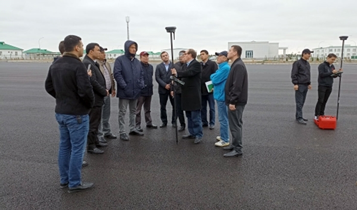
The training participants and FAO specialists then traveled to the Geoktepe district of the Akhal province (project pilot site) to test the geodetic equipment in the field.
They used satellite equipment and a base station to digitally interpret the instructor’s position with a portable measuring receiver. This lightweight carbon fiber pole with a mounted receiving device and a portable computer allows for accurate positioning in real-time.
This is how the first points in the coordinate system “the administrative center of the Geoktepe district” were fixed in the device’s memory.
Three GNSS base stations have been installed in Turkmenistan so far, and modern geodesy is only just gaining momentum in the country. This project is a significant step forward in the country’s efforts to modernize its land management system.///nCa, 13 December 2023

