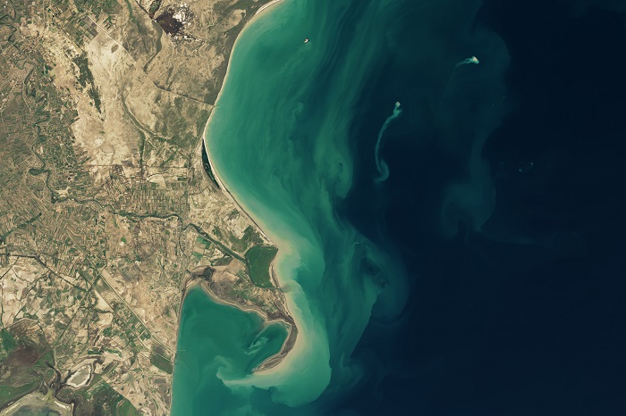
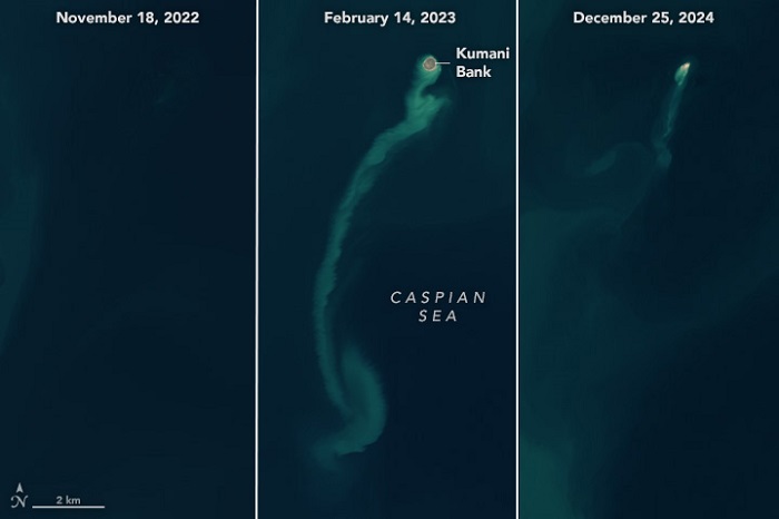
NASA satellite images have shown how an island appeared on the surface of the Caspian Sea after the eruption of a mud volcano in early 2023. By the end of 2024, it had almost completely collapsed, disappearing from sight like a ghost, according to NASA Earth Observatory.
Powerful eruptions of the Kumani mud volcano have led to the formation of such temporary islands several times since the first recorded eruption in 1861. Also known as Chigil-Deniz, the feature is located about 25 kilometers (15 miles) off the eastern coast of Azerbaijan.
 The images captured by the Landsat 8 and 9 satellites demonstrate that in November 2022, there was a featureless body of water in place of the island. In January–February 2023, an island about 400 meters wide appeared as a result of a volcanic eruption. By 14 February, 2023, a sedimentary plume was stretching from the island. By the end of 2024, the island had shrunk significantly and became barely visible, almost disappearing like a ghost.
 The eight previous recorded Kumani eruptions occurred in periods of less than two days and resulted in the formation of islands of varying sizes and lifespans.
Mud volcanoes such as Kumani are poorly studied formations that can vary in size from several meters to several kilometers. They are most found in areas with active tectonics or high sedimentation rates. These are places where subsurface pressure can build and force a mix of fluids, gases, and sediments to the surface.
Azerbaijan is unusual for its high concentration of mud volcanoes. Geologists have counted more than 300 of them in Eastern Azerbaijan and on the shelf of the Caspian Sea, and most of them are located on land. The region is located in the convergence zone where the Arabian and Eurasian tectonic plates collide.
Azerbaijan’s mud volcanoes are linked to the vast hydrocarbon system of the South Caspian basin and are known to emit flammable gases such as methane, along with characteristic muddy slurries. ///nCa, 10 January 2025 (photo credit – NASA Earth Observatory)