Oraznazar Hashdekov
The 1970s marked a very productive period for the gas industry of Turkmenistan. The tireless efforts of the country’s oil and gas experts led to the discovery and development of numerous gas and gas condensate fields, significantly bolstering the national economy.
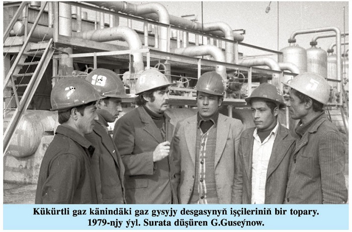
One such colossal find is the Kukurtli gas condensate field, situated on the Amu Darya River’s left bank. This field contains Mesozoic and Cenozoic deposits overlying disrupted Paleozoic rocks. The Kukurtli gas condensate field was put into operation in 1970 by gas production from sulfur-free horizons XI, XII, XIII, XIII, XIV, XVII. Horizon XV, containing sulfur, was commissioned in 1983.
Extensive drilling provided invaluable data on the Kukurtli trough’s geological structure. The field’s productive layers span a wide stratigraphic range from the Lower-Middle Jurassic to the Lower Cretaceous, offering a detailed picture of the region’s Jurassic-Cretaceous sediments. Evidence suggests the Kukurtli trough is a northwest-trending deflection with domed flanks, complicated by tectonic activity.
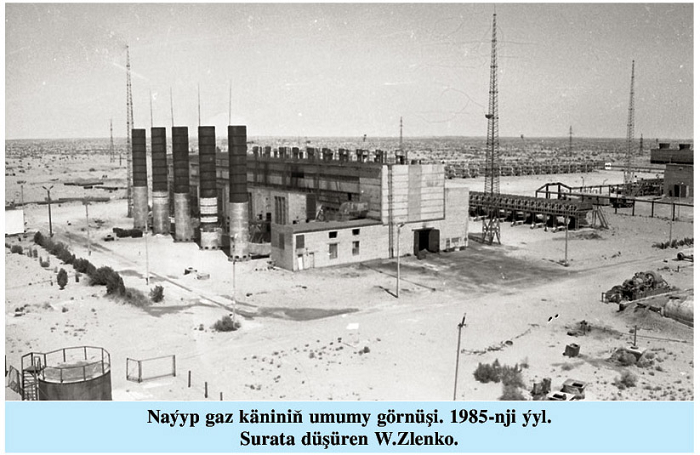
 The Naip gas condensate field was discovered in July 1970 and commenced pilot operations in May 1972.
Within the Naip structure, eighteen productive horizons have been identified in conjunction with the Upper Jurassic system. Situated on the eastern flank of the Balgui trough, the field occupies a position within the trough’s northwestern margin from a regional tectonic perspective.
In 1974, the Ojak Drilling Department initiated exploration activities targeting gas deposits within the lower reaches of the Upper Jurassic and Lower-Middle Jurassic formations. By 1977, well No. 18 confirmed the presence of productive gas within these deposits. Subsequent drilling of wells 19 through 24 aimed to assess gas productivity and identify viable gas-bearing strata. These exploratory efforts comprehensively exposed the Lower-Middle Jurassic deposits, revealing six distinct productive horizons across a thickness ranging from 185 to 217 meters.
In 1988, while exploring the Albian deposits of the Naip field, well No. 108 encountered the D1 horizon at a depth of 1,494 to 1,528 meters. A significant gas flow of 510 thousand cubic meters was subsequently discovered within the 1,492 to 1,502 meter interval.
The North Naip deposit is a complex underground formation containing multiple productive layers. Initial pilot operations commenced in July 1976, targeting layers III, V, and Vb, followed by layer VIII in May 1982. Exploration and production wells have revealed deposits spanning from the Jurassic to Neogene-Quaternary periods. Based on oil and gas reserves, the field is classified within the Naip gas district of the Bovrideshik-Ojak gas region.
 The largest detected thickness of sedimentary layers at the Northern Naip site was 2,999 meters (well No. 13).
The Odjak gas field (now Naip) occupies the northwestern part of the Amudarya oil and gas field system. Most of it is located in the northern part of the Zaunguz Karakum desert. The Odzhak, Naip, Northern Naip, and Southern Naip gas condensate fields belong to the Naip gas region.
The North Balgui multilayer gas condensate field was discovered in January 1975. Its sulfur-free component began production in 1977, followed by the sulfur component in 1984. Situated 35 kilometers northeast of the Naip gas field and 50 kilometers north of the Kerpichli field, North Balgui is characterized as a gas condensate, vaulted, multi-layered deposit containing ethane.
Exploratory and operational drilling at North Balgui revealed rock formations dating back to the Lower Middle Jurassic, Upper Jurassic, Cretaceous, Paleogene, and Neogene-Quaternary periods.
Formation X stands as the primary gas reserve within the field. The gas contains varying concentrations of hydrogen sulfide across the deposit, with a maximum concentration observed in the northeastern region and sulfur-free gas prevalent in the northwestern sections. These compositional disparities necessitate careful consideration during field development, particularly in establishing optimal gas production rates for both the sulfur-rich and sulfur-free zones of Formation X.
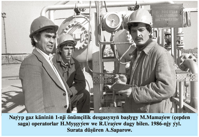
Sulfur-free and hydrogen sulfide-containing gases undergo separate processing. Gas laden with hydrogen sulfide is subjected to purification at a dedicated desulfurization facility. This facility also handles the preparation and purification of gas sourced from the Gazlydepe, Balgui, and Kerven fields.
As a result of the research work, structural maps of the sole of the layer located near the saline deposits of the Cimmerian-titanium layer and the supporting seismic layers of the Upper Cretaceous and Upper Jurassic deposits on a scale of 1:100,000 at the elevations of Kerpichli, Balgui and Northern Balgui were constructed. The structural model of the Northern Balgui largely coincides with the results of previous seismic data obtained by the method of refracted waves.
The obtained geological and geophysical data, as well as the analysis and results of thematic work, served as the basis for deep drilling at the North Balgui site, which were successfully carried out in April 1974.
In recent years, seismic surveys have been successfully carried out at research sites in Eastern Turkmenistan using the common deep point method. This allows to study in detail the structure of local upwelling and choose the most suitable location for exploration and test wells.
Between 1974 and 1975, comprehensive studies were undertaken at the Balgui and North Balgui structures to inform subsequent seismic surveys using the common deep point method. Additionally, the drilling of final exploration wells in the Upper and Lower Jurassic formations at the North Balgui site was completed. These combined efforts led to a detailed understanding of the structural characteristics of both deflections.
The Kerpichli gas condensate field is located in the southeastern part of the Zaunguz Karakum desert, 90 km to the north of it is the Naip gas condensate field, 75 km to the southwest is the Bovrideshik gas condensate field, 25 km to the northeast is the Severny Balgui field and 30 km to the southeast is Gazlydepe.
In October 1971, exploration and drilling operations were started. In December 1972, an industrially significant gas was detected during the exploration of well No. 1.
The Kerpichli multilayer deposit was put into pilot operation in 1978. As a result of drilling research wells, rock formations of the Jurassic, Cretaceous, Mesozoic, Paleogene and Neogene-Quaternary periods were revealed.
The carbonate layer consists mainly of limestone with layers of mudstone and anhydrite. This stratum consists of various lithological complexes. The lithological stratum (50-55 meters) located under the carbonate complex consists of solid limestones with interlayers of sandstones and clays. Productive layers VIII, IX, X, Ha, XI are marked on the section. ///originally published by the newspaper “Nebit-Gaz”, 2 August 2024
